
Intercommunality CREA Area 9.55 km² | Region Normandy Population (2006) 990 Local time Monday 12:07 AM | |
 | ||
Weather 11°C, Wind NE at 6 km/h, 78% Humidity | ||
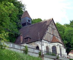
Orival is a commune in the Seine-Maritime departement in the Haute-Normandie region in northern France.
Contents
Map of 76500 Orival, France
Geography
A village surrounded by woodland and situated by the banks and cliffs of the river Seine, just 12 miles (19 km) south of Rouen at the junction of the D938, D64 and the D132 roads.
History
The history of the town goes back to Neolithic times, as proved by the finds of stone-age tools and mammoth bones in the numerous large caves and the cliffs of the area.
The Romans also left traces of their passing, with the remains of a fanum visible on one of the hills.
King Richard I of England (the Lion Heart) was very active in the region, erecting a castle here in 1195. Unfortunately, his brother John of England (known as John Lackland), couldn’t hold on to the territory and the building was already a ruin by 1203.