
 | ||
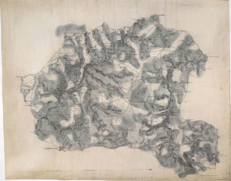
The British Library holds 351 of the original preliminary drawings made by the surveyors between the 1780s and 1840. They cover most of England south of a line between Liverpool and Hull. These drawings were produced as the base for the production of a one inch map for the country. Nowadays, OSD are value for genealogists for their place-names and by transport historians for their depiction of the expanding canal and turnpike road networks. They are seen as a unique record of land use in the eighteenth and early nineteenth centuries.
They can be seen at the Online Gallery at The British Library web page
References
Ordnance Survey Drawings Wikipedia(Text) CC BY-SA