
Length 61 km Source elevation 601 m | - min 2.3 m/s (81 cu ft/s) Basin area 1,992 km² | |
 | ||
- average 34.5 m/s (1,218 cu ft/s) - max 1,120 m/s (39,552 cu ft/s) | ||
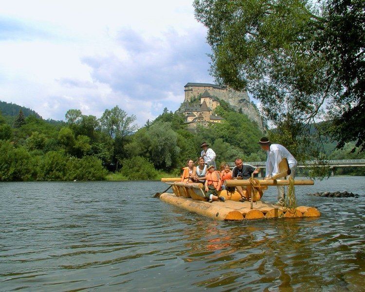
The Orava (Hungarian: Árva) is a 60.9 km long river in north-western Slovakia passing through a picturesque country, in the Orava county. Its source is nowadays the Orava water reservoir whose waters flooded the confluence of Biela (White) Orava and Čierna (Black) Orava in 1953. It flows into the river Váh near the village of Kraľovany.
Contents
Map of Orava, Slovakia
Etymology
The name is of Slavic or Pre-Slavic origin. Proto-Slavic *or-, *orati: to scream, to roar (roaring river), Pre-Slavic *er-/*or-: fast, swift (swift river). The suffix -ava is typical for older Slovak hydronyms, but it can be derived also from Germanic -ahwa (water). The earliest records are fl. Arua (1287) and Oravia (1314).
References
Orava (river) Wikipedia(Text) CC BY-SA