
GNIS feature ID 0453692 Area 72.8 km² Local time Sunday 12:43 AM | ZIP codes 47452, 47454, 47469 Elevation 159 m Population 658 (2010) | |
 | ||
Weather 16°C, Wind S at 11 km/h, 84% Humidity | ||
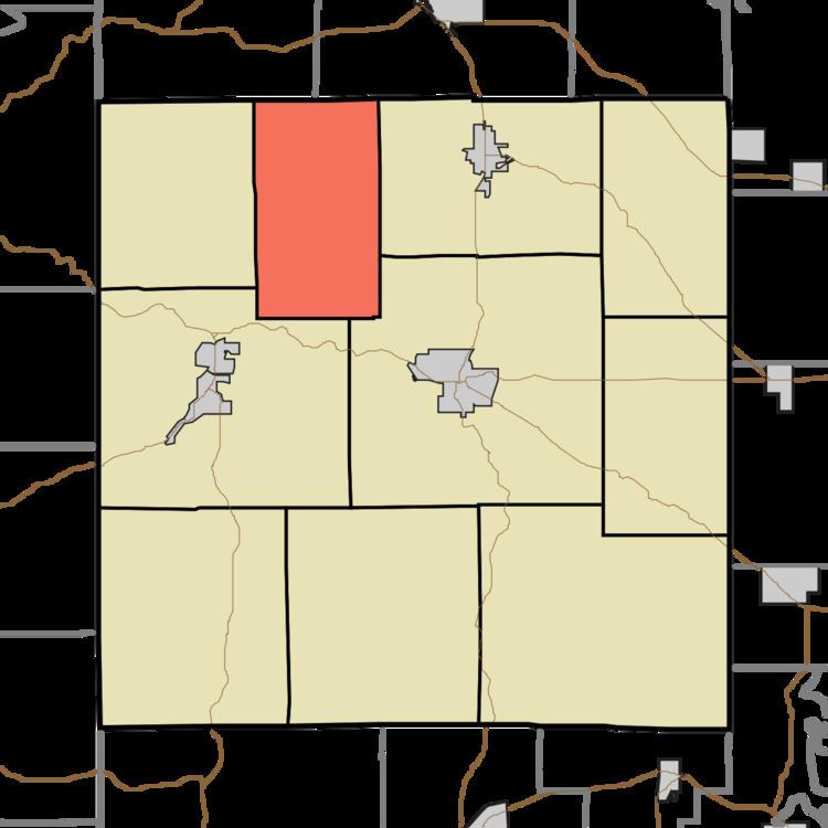
Orangeville Township is one of ten townships in Orange County, Indiana, United States. As of the 2010 census, its population was 658 and it contained 278 housing units.
Contents
- Map of Orangeville Township IN USA
- Geography
- Unincorporated towns
- Cemeteries
- School districts
- Political districts
- References
Map of Orangeville Township, IN, USA
Geography
According to the 2010 census, the township has a total area of 28.11 square miles (72.8 km2), of which 28.01 square miles (72.5 km2) (or 99.64%) is land and 0.1 square miles (0.26 km2) (or 0.36%) is water.
Unincorporated towns
(This list is based on USGS data and may include former settlements.)
Cemeteries
The township contains Independent Order of Odd Fellows Cemetery.
School districts
Political districts
References
Orangeville Township, Orange County, Indiana Wikipedia(Text) CC BY-SA