
Country United States Time zone CST (UTC-6) Area 95.13 km² Population 514 (2010) | Established November 4, 1884 Elevation 138 m Local time Saturday 9:17 PM | |
 | ||
ZIP codes 62274, 62907, 62966, 62994 Weather 16°C, Wind S at 13 km/h, 92% Humidity | ||
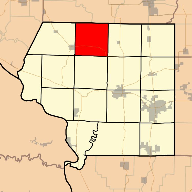
Ora Township is one of sixteen townships in Jackson County, Illinois, USA. As of the 2010 census, its population was 514 and it contained 210 housing units.
Contents
- Map of Ora Township IL USA
- Geography
- Unincorporated towns
- Adjacent townships
- Cemeteries
- Major highways
- School districts
- Political districts
- References
Map of Ora Township, IL, USA
Geography
According to the 2010 census, the township has a total area of 36.73 square miles (95.1 km2), of which 36.63 square miles (94.9 km2) (or 99.73%) is land and 0.1 square miles (0.26 km2) (or 0.27%) is water.
Unincorporated towns
(This list is based on USGS data and may include former settlements.)
Adjacent townships
Cemeteries
The township contains these eight cemeteries: Birkner, Creek Paum, Ditzler, Graff, Joubert, King, Underwood and Williamson.
Major highways
School districts
Political districts
References
Ora Township, Jackson County, Illinois Wikipedia(Text) CC BY-SA