
Established November 6, 1906 ZIP codes 61418, 61437, 61469 Elevation 173 m Local time Saturday 9:06 PM | Time zone CST (UTC-6) GNIS feature ID 0429496 Area 73.79 km² Population 1,997 (2010) | |
 | ||
Weather 14°C, Wind E at 14 km/h, 96% Humidity Points of interest Delabar State Park, Big River State Forest, Alexis Phelps House | ||
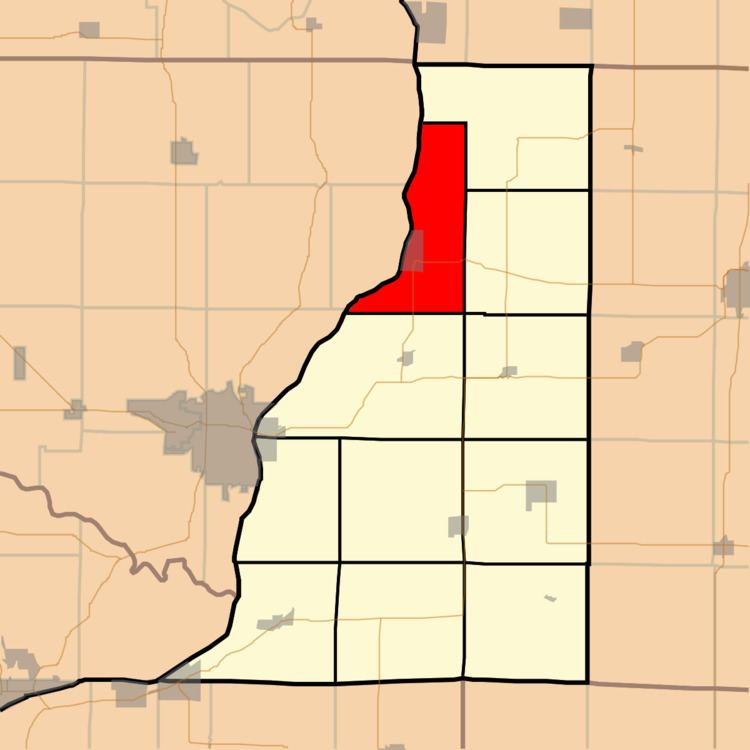
Oquawka Township is one of eleven townships in Henderson County, Illinois, USA. As of the 2010 census, its population was 1,997 and it contained 1,117 housing units.
Contents
- Map of Oquawka Township IL USA
- Geography
- Cities towns villages
- Unincorporated towns
- Cemeteries
- Major highways
- Lakes
- Landmarks
- School districts
- Political districts
- References
Map of Oquawka Township, IL, USA
Geography
According to the 2010 census, the township has a total area of 28.49 square miles (73.8 km2), of which 24.21 square miles (62.7 km2) (or 84.98%) is land and 4.28 square miles (11.1 km2) (or 15.02%) is water.
Cities, towns, villages
Unincorporated towns
(This list is based on USGS data and may include former settlements.)
Cemeteries
The township contains these two cemeteries: County Farm and Oquawka.
Major highways
Lakes
Landmarks
School districts
Political districts
References
Oquawka Township, Henderson County, Illinois Wikipedia(Text) CC BY-SA