
 | ||
Similar Coquille Myrtle Grove Sta, Arizona Beach State Rec, Otter Point State Recreatio, Lone Ranch Beach, Isaac Lee Patterson Bridge | ||
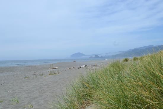
Ophir Beach is an undeveloped sandy beach on the Oregon Coast seven miles north of Gold Beach in Curry County, United States. It is more than 8.5 kilometres (5.3 mi) in length with the south end at Nesika Beach and the north end at a cape named the Devils Backbone. The beach is bounded by U.S. Route 101 on the east. Euchre Creek flows westward to the ocean cutting through the northern third of the beach.
Map of Ophir Beach, Oregon 97444, USA
There is a state maintained safety rest area at Ophir Beach with picnic tables and restrooms.
This beach is sometimes referred to as Nesika Beach.
References
Ophir Beach Wikipedia(Text) CC BY-SA