
Country United States FIPS code 30-55525 Elevation 995 m Zip code 59250 Local time Saturday 2:40 PM | Time zone Mountain (MST) (UTC-7) GNIS feature ID 0774973 Area 54 ha Population 89 (2013) Area code 406 | |
 | ||
Weather 12°C, Wind W at 24 km/h, 30% Humidity | ||
Opheim is a town in Valley County, Montana. The population was 85 at the 2010 census.
Contents
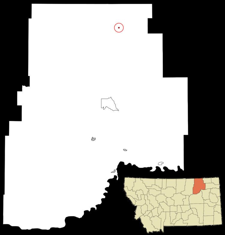
Map of Opheim, MT, USA
Geography
Opheim is located at 48°51′29″N 106°24′35″W (48.857981, -106.409816).
According to the United States Census Bureau, the town has a total area of 0.21 square miles (0.54 km2), all of it land.
Climate
According to the Köppen Climate Classification system, Opheim has a semi-arid climate, abbreviated "BSk" on climate maps.
2010 census
As of the census of 2010, there were 85 people, 47 households, and 24 families residing in the town. The population density was 404.8 inhabitants per square mile (156.3/km2). There were 69 housing units at an average density of 328.6 per square mile (126.9/km2). The racial makeup of the town was 97.6% White and 2.4% from two or more races.
There were 47 households of which 12.8% had children under the age of 18 living with them, 42.6% were married couples living together, 8.5% had a female householder with no husband present, and 48.9% were non-families. 46.8% of all households were made up of individuals and 12.8% had someone living alone who was 65 years of age or older. The average household size was 1.81 and the average family size was 2.54.
The median age in the town was 58.4 years. 11.8% of residents were under the age of 18; 3.6% were between the ages of 18 and 24; 15.4% were from 25 to 44; 42.4% were from 45 to 64; and 27.1% were 65 years of age or older. The gender makeup of the town was 45.9% male and 54.1% female.
2000 census
As of the census of 2000, there were 111 people, 56 households, and 31 families residing in the town. The population density was 508.5 people per square mile (194.8/km²). There were 83 housing units at an average density of 380.2 per square mile (145.7/km²). The racial makeup of the town was 99.1% White, and 0.9% from two or more races. No African Americans, Native Americans, Asians, Pacific Islanders, or people of other races live in Opheim. Nobody in Opheim is Hispanic or Latino of any race.
There were 56 households out of which 21.4% had children under the age of 18 living with them, 44.6% were married couples living together, 10.7% had a female householder with no husband present, and 42.9% were non-families. 41.1% of all households were made up of individuals and 23.2% had someone living alone who was 65 years of age or older. The average household size was 1.98 and the average family size was 2.63.
In the town, the population was spread out with 17.1% under the age of 18, 3.6% from 18 to 24, 20.7% from 25 to 44, 27.0% from 45 to 64, and 31.5% who were 65 years of age or older. The median age was 50 years. For every 100 females there were 105.6 males. For every 100 females age 18 and over, there were 100 males.
The median income for a household in the town was $24,583, and the median income for a family was $36,563. Males had a median income of $38,333 versus $25,625 for females. The per capita income for the town was $24,680. 7.2% of the population and no families were below the poverty line. none under the age of 18 and 20.7% of those 65 and older were living below the poverty line.