
Time zone CET (UTC+1) Elevation 442 m Local time Saturday 6:18 AM | Postal code 285 03 or 285 04 Area 12.88 km² Population 294 (1 Jan 2013) | |
 | ||
Weather -1°C, Wind SE at 3 km/h, 90% Humidity Neighborhoods Miletín, Křečovice, Rozkoš | ||
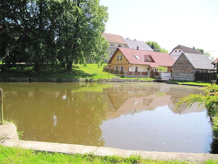
Onomyšl is a village and municipality in Kutná Hora District in the Central Bohemian Region of the Czech Republic. The municipality covers an area of 13 km² and as of 2006 it had a population of 283. The municipality of Onomyšl also includes: villages Křečovice Miletín and Rozkoš and forester's house in the Budy.
Map of 285 04 Onomy%C5%A1l, Czechia
References
Onomyšl Wikipedia(Text) CC BY-SA