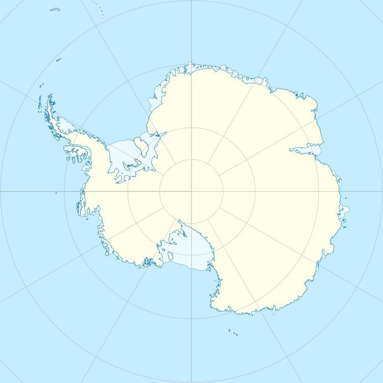
Location Antarctica | Population Uninhabited | |
 | ||
Ongulkalven Island is an island lying 1.9 kilometres (1 nmi) west of Ongul Island in Lutzow-Holm Bay. Mapped by Norwegian cartographers from air photos taken by the Lars Christensen Expedition, 1936–37, and named "Ongulkalven" ("the fishhook calf").
References
Ongulkalven Island Wikipedia(Text) CC BY-SA
