
Location Hordaland, Norway Width 2.5 km (1.55 mi) Highest point Vareidet Elevation 53 m | Length 4.5 km (2.8 mi) Highest elevation 53 m (174 ft) County Hordaland Area 6.8 km² | |
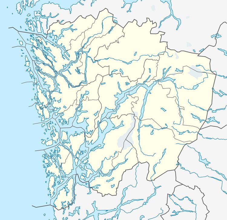 | ||
Ona or One (sometimes Oøy or Oni) is an island in Øygarden municipality in Hordaland county, Norway. The 6.8-square-kilometre (2.6 sq mi) island lies in the Øygarden archipelago just north of the island of Blomøyna and south of Alvøyna. The Hjeltefjorden lies east of the island and the North Sea and some smaller island lie to the west. The southern portion of the island of Ona is dominated by the Kollsnes natural gas processing facility. The island is low, rocky, and barren, with its highest point being the 53-metre (174 ft) tall Vareidet hill.
Map of Ona, 5337 Rong, Norway
References
Ona, Hordaland Wikipedia(Text) CC BY-SA