
Area 20.1 km² | Name meaning Sheaf Local time Friday 3:16 PM | |
 | ||
Weather 21°C, Wind NW at 24 km/h, 41% Humidity | ||
Omer israel 119566
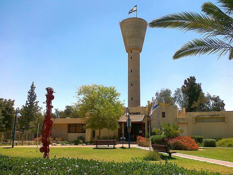
Omer (Hebrew: עֹמֶר) is an upscale town in the Southern District of Israel, bordering Beersheba. It is located on Highway 60, between Beersheba and the Shoket Junction. In 2015 it had a population of 7,339.
Contents
Map of Omer, Israel
History
Omer, originally known as Hevrona, was founded as a kibbutz in 1949. The early residents were demobilized Palmach soldiers. In 1951, it became a cooperative village known as Eilata. In 1953, it was re-established as a communal moshav by immigrants from Hungary and Romania and renamed Omer. The name is based on a verse from the book of Leviticus.
In 1957, residents of the ma'abarot in the vicinity moved to Omer. In 1962, it was renamed Tomer and became a neighborhood of Beersheba. Since 1974, it has been an independent town and suburb of Beersheba.
Pini Badash has served as mayor since 1990. Omer's jurisdiction is 20,126 dunams (~20.1 km²).
Economy
Omer is known for its high socio-economic ranking. It is one of three municipalities to score 10/10, along with Kokhav Yair and Savyon.