
Country United States County Adair FIPS code 40-55285 Elevation 333 m Population 315 (2010) | Time zone Central (CST) (UTC-6) GNIS feature ID 2584387 Area 8.45 km² | |
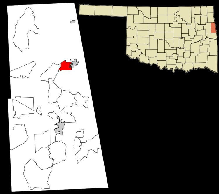 | ||
Old Green is a census-designated place (CDP) in Adair County, Oklahoma, United States. The population was 315 at the 2010 census.
Geography
Old Green is located at 35°59′16″N 94°36′5″W, along the western edge of the town of Westville. U.S. Route 62 runs east–west through the center of the community, and U.S. Route 59, running north–south, forms most of the eastern border. It is 14 miles (23 km) south to Stilwell, the county seat, 26 miles (42 km) west to Tahlequah, 15 miles (24 km) north to West Siloam Springs on the Arkansas border, and 29 miles (47 km) east to Fayetteville, Arkansas.
According to the United States Census Bureau, the CDP has a total area of 3.2 square miles (8.4 km2), of which 0.023 square miles (0.06 km2), or 0.74%, is water.
References
Old Green, Oklahoma Wikipedia(Text) CC BY-SA