
Country United States ZIP codes 26845 Elevation 245 m | Time zone Eastern (EST) (UTC-5) GNIS feature ID 1555262 Local time Thursday 1:51 PM | |
 | ||
Weather 8°C, Wind SW at 5 km/h, 27% Humidity | ||
Old Fields is an unincorporated community on the South Branch Potomac River in northern Hardy County, West Virginia, USA.
Contents
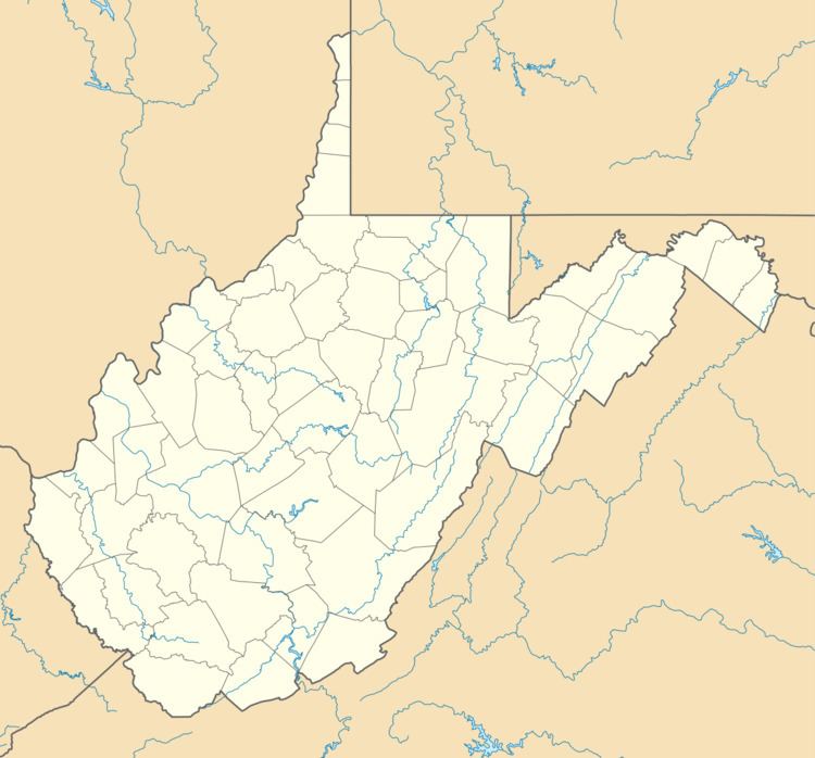
Map of Old Fields, WV, USA
According to the Geographic Names Information System, Old Fields has also been known throughout its history as Indian Old Field, Indian Old Fields, and Oldfields.
History
The community was named for the fact the original town site was an Indian old field.
Other buildings of interest in the vicinity include Old Fields Church (1812; the second-oldest church in West Virginia), the Garrett Van Meter House (1835), Buena Vista (1836), built for William T. Van Meter (killed in Gen. Wade Hampton’s “Beefsteak Raid” behind Union lines near Petersburg, Virginia, in 1864), and Traveler’s Rest (1856; constructed for Garrett Van Meter’s three unmarried sisters: Ann, Rebecca, and Susan).