
Area 6.69 km² | Postal code 680 01 Elevation 597 m Population 532 (2006) | |
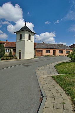 | ||
Okrouhlá is a village and municipality (obec) in Blansko District in the South Moravian Region of the Czech Republic.
Map of 680 01 Okrouhl%C3%A1, Czechia
The municipality covers an area of 6.69 square kilometres (2.58 sq mi), and has a population of 532 (as at 3 July 2006).
Okrouhlá lies approximately 17 kilometres (11 mi) north of Blansko, 36 km (22 mi) north of Brno, and 179 km (111 mi) east of Prague.
References
Okrouhlá (Blansko District) Wikipedia(Text) CC BY-SA