
 | ||
The statistical areas of the United States of America comprise the metropolitan statistical areas (MSAs), the micropolitan statistical areas (μSAs), and the combined statistical areas (CSAs) currently defined by the United States Office of Management and Budget (OMB).
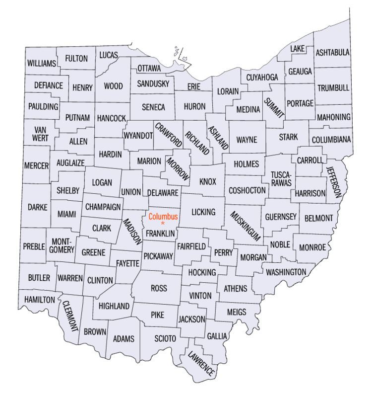
Most recently on February 28, 2013, the Office of Management and Budget defined 1098 statistical areas for the United States, including 9 combined statistical areas, 16 metropolitan statistical areas, and 29 micropolitan statistical areas in the State of Ohio. The table below shows the recent population of these statistical areas and the 88 counties of Ohio.
Table
The table below describes the 54 United States statistical areas and 88 counties of the State of Ohio with the following information:
- The combined statistical area (CSA) as designated by the OMB.
- The CSA population as of April 1, 2010, as enumerated by the 2010 United States Census.
- Where the CSA includes counties from more than one state, the population of the portion of the CSA in Ohio.
- The core based statistical area (CBSA) as designated by the OMB.
- The CBSA population as of April 1, 2010, as enumerated by the 2010 United States Census.
- The county name.
- The county population as of April 1, 2010, as enumerated by the 2010 United States Census.