
Time zone CST (UTC-6) Area 98.7 km² Population 823 (2010) | Established November 6, 1849 Elevation 256 m Local time Thursday 1:35 AM | |
 | ||
ZIP codes 61328, 61330, 61349, 61356 Weather -1°C, Wind E at 18 km/h, 68% Humidity | ||
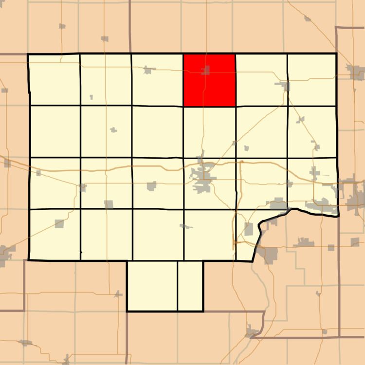
Ohio Township is one of twenty-five townships in Bureau County, Illinois, USA. As of the 2010 census, its population was 823 and it contained 383 housing units. Ohio Township changed its name from Richland Township in June, 1850.
Contents
- Map of Ohio Township IL USA
- Geography
- Cities
- Unincorporated towns
- Cemeteries
- Major highways
- Airports and landing strips
- School districts
- Political districts
- References
Map of Ohio Township, IL, USA
Geography
According to the 2010 census, the township has a total area of 38.11 square miles (98.7 km2), of which 38.1 square miles (99 km2) (or 99.97%) is land and 0.01 square miles (0.026 km2) (or 0.03%) is water.
Cities
Unincorporated towns
(This list is based on USGS data and may include former settlements.)
Cemeteries
The township contains these two cemeteries: Ohio and Union.
Major highways
Airports and landing strips
School districts
Political districts
References
Ohio Township, Bureau County, Illinois Wikipedia(Text) CC BY-SA