
Existed: 1924 – present Length 134.1 km | Constructed 1924 | |
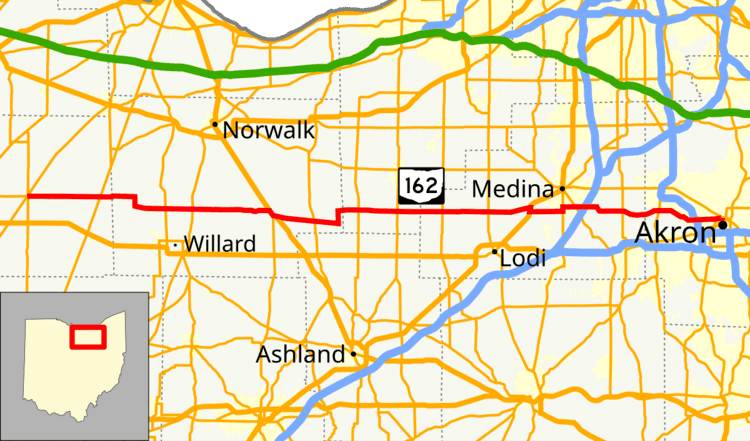 | ||
State Route 162 (SR 162) is an east–west state highway in the north central and northeastern parts of the U.S. state of Ohio. Its western terminus is in Republic at SR 18 and SR 67 and its eastern terminus is in Akron at SR 18 (the intersection of Rand and Market Street) though signage along Market Street east of here shows it ending at High Street (SR 261 southbound).
Map of OH-162, Ohio, USA
References
Ohio State Route 162 Wikipedia(Text) CC BY-SA