
Country Brazil State Piauí Area 2,702 km² Number of airports 1 | Time zone BRT (UTC-3) Local time Wednesday 5:23 PM | |
 | ||
Weather 23°C, Wind E at 10 km/h, 90% Humidity | ||
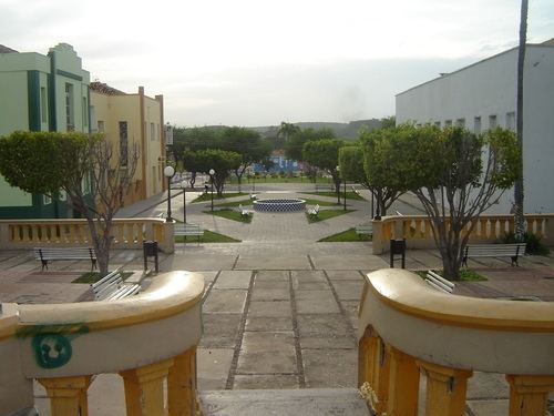
Oeiras is a municipality in the Microregion of Picos, in the northeastern Brazilian State of Piauí.
Contents
Map of Oeiras - Piau%C3%AD, Brazil
According to the Instituto Brasileiro de Geografia e Estatística (Brazilian Institute of Geography and Statistics), its population was 34,538 inhabitants in 2003. The municipality covers an area of 2,720 km².
The city is served by Oeiras Airport.
History
Oeiras grew up around a church founded in 1695 dedicated to Our Lady of the Victory. Since 1944 it is the cathedral episcopal see of the Roman Catholic Diocese of Oeiras.
Oeiras was elevated to the level of town in 1712, then became the state capital of Piauí in 1759. In 1761 it became a city. The capital was transferred to Teresina in 1851.
References
Oeiras, Piauí Wikipedia(Text) CC BY-SA