
County Barton FIPS code 20-57125 Elevation 561 m Population 101 (2010) | Time zone Central (CST) (UTC-6) GNIS ID 475528 Area 10.4 km² | |
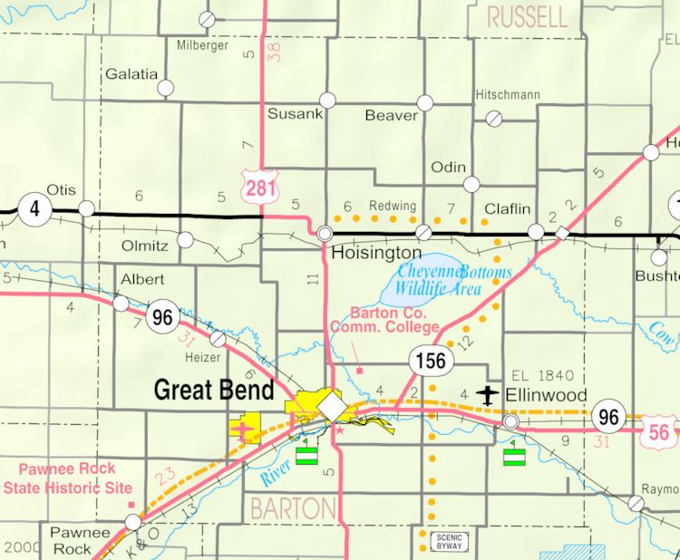 | ||
Odin is a census-designated place (CDP) in Barton County, Kansas, United States. The population was 101 at the 2010 census.
Contents
Map of Odin, KS 67525, USA
History
Odin had a post office from 1877 until 1906. The post office was re-established in 1950, and finally closed again in 1995.
Geography
Odin is located at 38°33′58″N 98°36′31″W (38.56612, -98.60869). According to the United States Census Bureau, the CDP has a total area of 4.0 square miles (10.4 km2), of which 0.008 square miles (0.02 km2), or 0.18%, is water.
Education
Odin is a part of USD 112 Central Plains.
Odin schools were closed in 1974 through school unification. The Odin High School mascot was Odin Tigers.
References
Odin, Kansas Wikipedia(Text) CC BY-SA