Local time Wednesday 1:14 AM | ||
 | ||
Weather 12°C, Wind SE at 8 km/h, 56% Humidity | ||
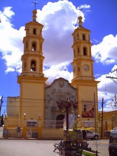
Ocampo is a city (and municipality) located in the northwest region of the Mexican state of Guanajuato. The municipality has an area of 1,019.49 square kilometres (3.7% of the surface of the state) and is bordered and to the south and east by San Felipe, to the north by the state of San Luis Potosí, to the west by the state of Jalisco. The municipality had a population of 23,500 inhabitants according to the 2010 census.
Contents
Map of Ocampo, Guanajuato, Mexico
The municipality is named after Melchor Ocampo, a 19th-century liberal statesman.
The municipal president of Ocampo and its many smaller outlying communities is Raul Castillo.
As of 2008 the largest group of immigrants from Ocampo go to Dallas, and the second-largest go to Chicago.
Education
Fifty schools are located in Ocampo. They include:
