
Country Japan District Kamitakai Area 19.12 km² Local time Wednesday 3:58 PM | Region Chūbu (Kōshin'etsu) Phone number 026-247-3111 Population 10,698 (Oct 2016) Prefecture Nagano Prefecture | |
 | ||
Time zone Japan Standard Time (UTC+9) Address 1491-2 Obuse, Obuse-machi, Kamitakai-gun, Nagano-ken 381-0297 Weather 8°C, Wind NW at 11 km/h, 63% Humidity Points of interest Ganshō‑in Temple, Obuseonsen Akebi Hot Spring, Obuseonsen Anakannon Hot Spring, Obuse Park, Jōkō‑ji Temple | ||
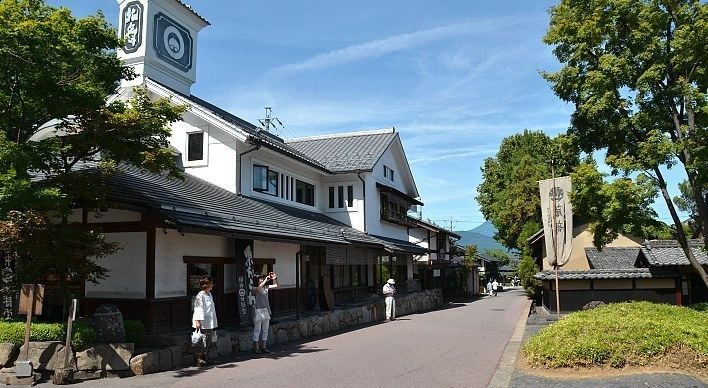
Obuse (小布施町, Obuse-machi) is a town located in Kamitakai District in northern Nagano Prefecture, in the Chūbu region of Japan. As of 1 October 2016, the town had an estimated population of 10,698 and a population density of 560 persons per km². Its total area was 19.12 square kilometres (7.38 sq mi).
Contents
- Map of Obuse Kamitakai District Nagano Prefecture Japan
- Geography
- Surrounding municipalities
- History
- Education
- Railway
- Highway
- Local attractions
- References
Map of Obuse, Kamitakai District, Nagano Prefecture, Japan
Geography
Obuse is located in northern Nagano Prefecture to the east of Nagano city.
Surrounding municipalities
History
The area of present-day Obuse was part of ancient Shinano Province. The modern village of Obuse was created with the establishment of the municipalities system on April 1, 1889. It was elevated to town status on February 1, 1954. Obuse annexed the neighboring village of Tsusumi on November 1,1954.
Education
Obuse has one public elementary school and one public middle school. The town does not have a high school.