
OS grid reference SO329778 Country England Post town BUCKNELL Local time Wednesday 4:42 AM Civil parish Clunbury UK parliament constituency Ludlow | Region West Midlands Sovereign state United Kingdom Postcode district SY7 Dialling code 01588 Ceremonial county Shropshire | |
 | ||
Weather 2°C, Wind S at 18 km/h, 100% Humidity | ||
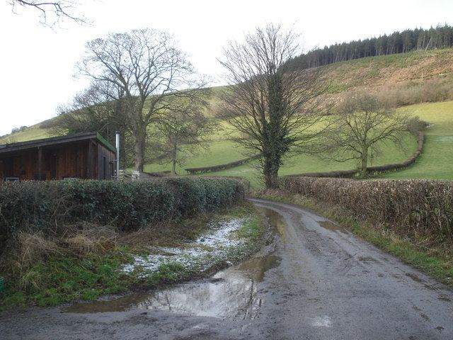
Obley is a small dispersed village in Shropshire, England. It is located a mile northeast of the village of Chapel Lawn and two miles west of Hopton Castle.
Map of Obley, Bucknell, UK
The nearest towns are Clun within England and Knighton, Powys (in Wales) with the population at the 2011 census being listed under Clunbury. The village lies at 269m above sea level.
The village lies in very rural, hilly countryside. Black Hill (441m) lies to the north.
References
Obley Wikipedia(Text) CC BY-SA