Population 0 (?) Mean max temp Mean min temp Local time Wednesday 8:03 AM | Postcode(s) 6208 Postal code 6208 | |
 | ||
Location 88 km (55 mi) from Perth22 km (14 mi) from Mandurah4.5 km (3 mi) from Pinjarra22 km (14 mi) from Dwellingup Weather 18°C, Wind NW at 23 km/h, 93% Humidity | ||
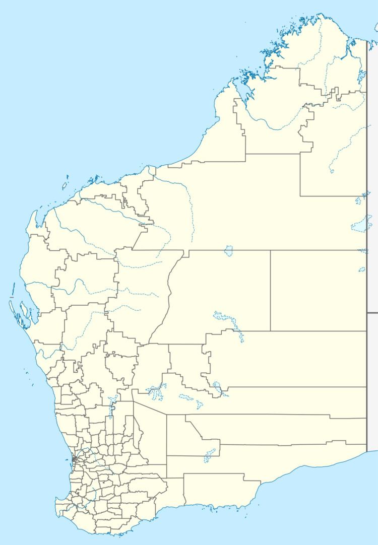
Oakley is a locality in the Peel Region of Western Australia. Its local government area is the Shire of Murray.
Map of Oakley WA 6208, Australia
Oakley is located at the foot of the Darling Scarp and is very lowly populated, it is one of the locations of Alcoa's three alumina refineries, which is named after the nearest large town in the region, Pinjarra.
References
Oakley, Western Australia Wikipedia(Text) CC BY-SA
