
 | ||
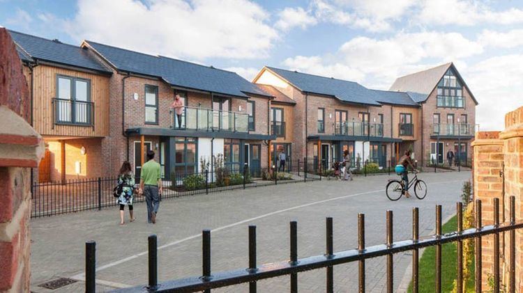
Mary creagh visits waitrose oakgrove milton keynes july 2013
Oakgrove is a district of Milton Keynes in Buckinghamshire, England. As of 2010, it is undeveloped but plans for its development are pending approval. The 30 hectares (74 acres) site is envisaged to accommodate 1,300 new homes and anticipated to be complete by 2017, with a large portion of the district remaining reserved as linear park to accommodate the flood plain of the river Ouzel.
Contents
- Mary creagh visits waitrose oakgrove milton keynes july 2013
- Map of Oakgrove Milton Keynes UK
- the big picture at oakgrove milton keynes utterly awesome people
- Location
- History and archaeology
- References
Map of Oakgrove, Milton Keynes, UK
the big picture at oakgrove milton keynes utterly awesome people
Location
Oakgrove is bounded by the grid roads Brickhill St to the east, Chafron Way to the south and by the Ouzel to the west and north. Oakgrove is a small district because it is nominally in the same grid square as the Woolstones (to its west) but is separated from them by the wide flood plain of the Ouzel, which is a linear park in normal times. To its east lies Middleton and Monkston is to its south.
History and archaeology
The name of the district is based on a 1685 estate map, which use the name Oak Grove for a part of this area. Much of it was a quarry in historic times, providing stone for nearby Broughton. and consequently, despite appearances, is treated as a brownfield site for planning purposes.
Archaeological investigations of the district revealed a Bronze Age barrow, a Saxon farm, and an Iron Age village and well.