Established 1996 Local time Wednesday 6:43 AM | Postcode(s) 6532 Founded 1996 Postal code 6532 | |
 | ||
Location 450 km (280 mi) N of Perth26 km (16 mi) N of Geraldton Weather 18°C, Wind W at 13 km/h, 85% Humidity | ||
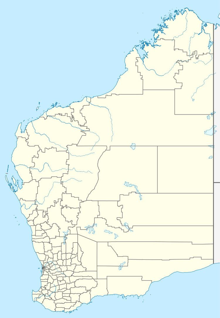
Oakajee is a locality in the Mid West region of Western Australia, about 25 kilometres (16 mi) north of the city of Geraldton.
Map of Oakajee WA 6532, Australia
Oakagee was a location on the Northampton railway line in the era between 1879 and 1957.
The area is associated with the Oakajee Port, a project with a long history of failed attempts to secure funding for construction, the most recent of which occurred in May 2014.
References
Oakajee, Western Australia Wikipedia(Text) CC BY-SA
