
Coastline 68.7 km (42.69 mi) Commune Cabo de Hornos Area 136.3 km² | Highest elevation 701 m (2,300 ft) Elevation 701 m Island group Tierra del Fuego | |
 | ||
Region Magallanes y la Antártica Chilena Region | ||
O'Brien Island (Spanish: Isla O'Brien) is located at the western end of the Beagle Channel.
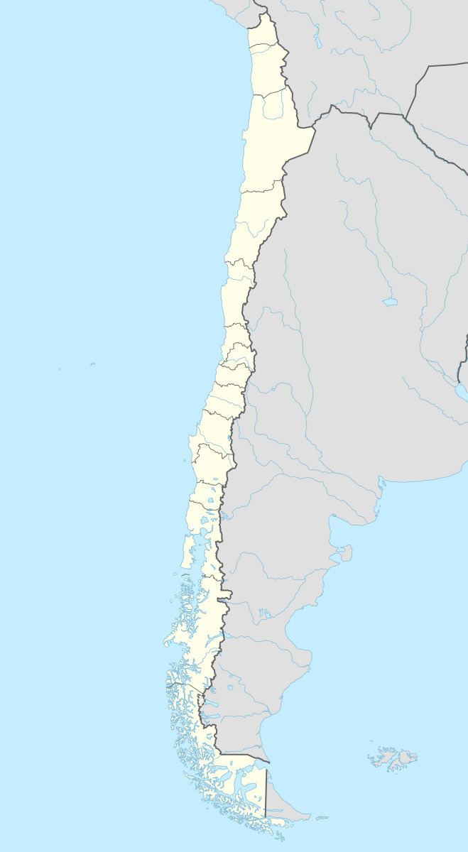
Map of O'Brien Island, Cabo de Hornos, Magallanes y la Ant%C3%A1rtica Chilena Region, Chile
East of the island is the Paso Darwin, that is the beginning of the Beagle Channel. To the north is the Isla Grande de Tierra del Fuego, separated by the Pomar Channel. To the South is the Guillermo Island and the Londonderry Island separated by the O'Brien Channel.
References
O'Brien Island, Chile Wikipedia(Text) CC BY-SA