Kalpana Kalpana (Editor)

Nyenga, Uganda

Updated on
Edit
Like
Comment
Share on FacebookTweet on TwitterShare on LinkedInShare on Reddit
Country
  
Uganda

District
  
Buikwe District

Local time
  
Tuesday 12:44 PM

Region
  
Central Uganda

Elevation
  
1,200 m

Nyenga, Uganda

Weather
  
26°C, Wind S at 14 km/h, 67% Humidity

Nyenga is a town in Buikwe District, Central Uganda. The town is an urban center under Buikwe District Administration. The other towns in the district include:

Contents

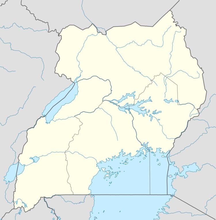
Map of Nyenga, Uganda

  • Buikwe Municipality
  • Lugazi Municipality
  • Njeru Municipality
  • Ngogwe Municipality
  • Nkokonjeru Municipality
  • Location

    Nyenga is located in Buikwe District, approximately 18 kilometres (11 mi), by road, northeast of Buikwe, the location of the district headquarters. The town is also located approximately 7.5 kilometres (4.7 mi), by road, southwest of Njeru, the largest metropolitan area in the district. The coordinates of Nyenga are:0°22'48.0"N; 33°09'00.0"E (Latitude:0.3800; Longitude:33.1500).

    Points of interest

    The following points of interest lie within or near Nyenga:

  • The offices of Nyenga Town Council
  • The offices of Nyenga Sub-county
  • Nyenga Central Market
  • Nyenga Roman Catholic Church
  • Saint Francis Hospital Nyenga: A healthcare facility affiliated with the Roman Catholic Church
  • Saint Francis School of Nursing and Midwifery
  • Nyenga Mosque
  • Allied Teachers Secondary School
  • Pentecostal Assemblies of God
  • Saint Anthonys Girls Primary School
  • Nyenga Secondary School
  • Wantumbi Primary School
  • Nyenga Muslim Primary School
  • Saint Jude Rido Primary School
  • Cardinal Nsubuga Secondary School
  • Nyenga Church of Uganda Primary School
  • Abdul Khamis Primary School
  • Saint Joseph Minor Seminary, Nyenga
  • Nyenga Children’s Home In Uganda: An extended family for destitute children
  • References

    Nyenga, Uganda Wikipedia