
OS grid reference SU5538837410 Post town BASINGSTOKE District Basingstoke and Deane UK parliament constituency Basingstoke | Sovereign state United Kingdom Dialling code 01256 | |
 | ||
Population 196 (2011 Census including Farleigh Wallop) | ||
Nutley is a small village and civil parish in the Basingstoke and Deane district of Hampshire, England. It is located approximately 5.6 miles (9.0 km) south-west from Basingstoke, just off the B3046 road. The parish has an acreage of 1,524 acres (617 ha) with 74 acres (30 ha) made up of permanent grass and 386 acres (156 ha) of woodland.
Contents
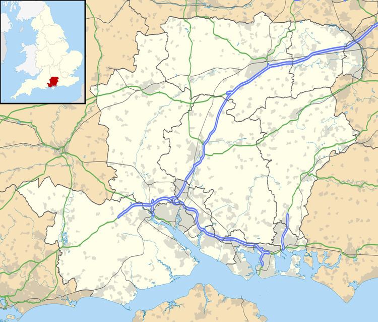
Map of Nutley, Basingstoke, UK
Governance
The village of Nutley is part of the civil parish of Nutley, which is part of the parish council of Preston Candover and Nutley. It is also part of the Upton Grey and the Candovers ward of Basingstoke and Deane borough council. The borough council is a Non-metropolitan district of Hampshire County Council.
References
Nutley, Hampshire Wikipedia(Text) CC BY-SA