
OS grid reference SU762212 | Sovereign state United Kingdom Postcode district GU31 5xx | |
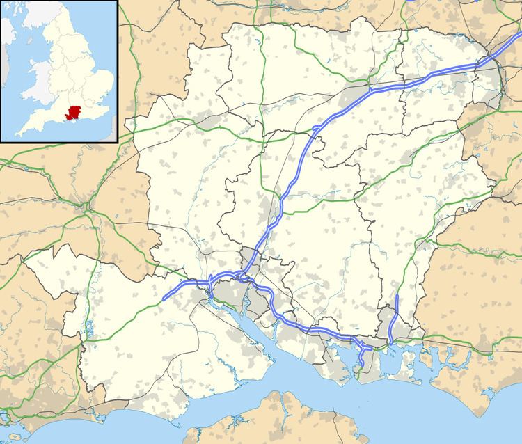 | ||
Nursted is a hamlet in the East Hampshire district of Hampshire, England. According to the Post Office the 2011 Census population was included in the civil parish of Buriton. It is 1.8 miles (2.7 km) southeast of Petersfield, on the B21466 road. The hamlet sits directly on the Hampshire/West Sussex border.
Map of Nursted, Petersfield, UK
The nearest railway station is Petersfield, 1.8 miles (2.7 km) northwest of the village.
References
Nursted Wikipedia(Text) CC BY-SA