
OS grid reference TA142496 Sovereign state United Kingdom Postcode district YO25 Dialling code 01964 | Post town DRIFFIELD Local time Tuesday 4:06 AM | |
 | ||
Weather 4°C, Wind SW at 23 km/h, 86% Humidity | ||
Nunkeeling is a hamlet in the East Riding of Yorkshire, England. It is situated approximately 4 miles (6.4 km) north-west of the town of Hornsea and 3 miles (5 km) south of Beeford.
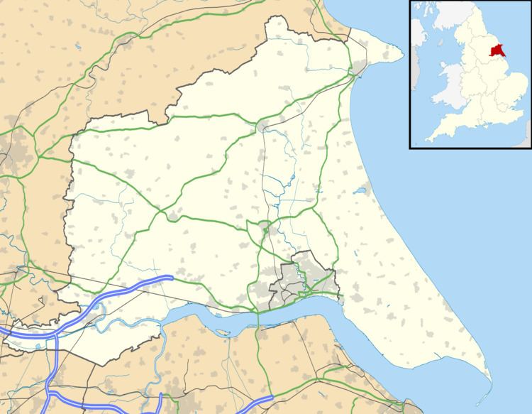
Map of Nunkeeling, Driffield, UK
Nunkeeling forms part of the civil parish of Bewholme.
St Mary Magdalene and St Helena Church was built c. 12th century. In 1810 it was rebuilt, and is now in ruins. In 1972 Pevsner noted that the church was "full of trees". Effigies from the church were removed to Hornsea. In November 1985 the remains were designated as Grade II and is now recorded in the National Heritage List for England, maintained by Historic England.
In 1823 Nunkeeling was a civil parish in the Wapentake and Liberty of Holderness. Nunkeeling Priory for Benedictine nuns was built by Agnes de Arches during the reign of King Stephen. Lord of the manor in 1823 was Harrington Hudson of Bessingby. Population at the time, which included Bewholme, was 243, with occupations including four farmers. A private asylum existed in the village.