
Population 234 (2011 census) Civil parish Nunburnholme Local time Tuesday 3:48 AM | OS grid reference SE849480 Dialling code 01759 | |
 | ||
Weather 3°C, Wind SW at 23 km/h, 86% Humidity | ||
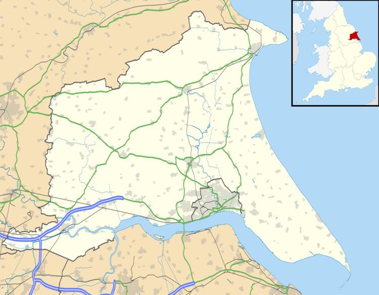
Nunburnholme is a village and civil parish in the East Riding of Yorkshire, England. It is situated approximately 3 miles (5 km) east of the market town of Pocklington.
Map of Nunburnholme, York, UK
The civil parish is formed by the village of Nunburnholme and the hamlet of Kilnwick Percy. According to the 2011 UK census, Nunburnholme parish had a population of 234, a decrease on the 2001 UK census figure of 253.
The parish church of St James is a Grade I listed building.
The Yorkshire Wolds Way National Trail, a long distance footpath passes through the village.
In 1823 Nunburnholme was a civil parish in the Wapentake of Harthill. Baines stated that there was previously a small Benedictine nunnery, indicated by a mound, that was founded by the ancestors of Roger de Morley. Population at the time was 203, with occupations including ten farmers and yeomen, a shoemaker & shopkeeper, a schoolmaster, and a wheelwright.
Nunburnholme was served by Nunburnholme railway station on the York to Beverley Line between 1847 and 1951.