
Population 307 (2006 census) Elevation 156 m Local time Tuesday 2:11 PM | Postcode(s) 2550 Postal code 2550 | |
 | ||
Weather 24°C, Wind NE at 13 km/h, 84% Humidity | ||
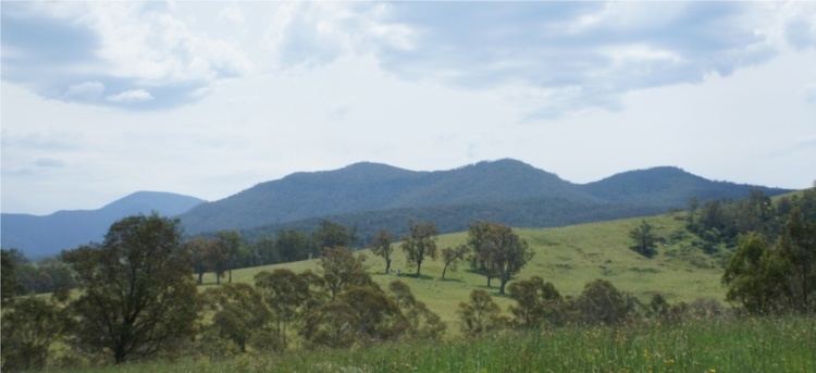
Numbugga (36°39′S 149°42′E), New South Wales, Australia, is a locality about 15 km from the town of Bega, in Bega Valley Shire, consisting of mainly farmland, rural residential dwellings and National Parks. At the 2006 census, Numbugga had a population of 307 people.
Contents
Map of Numbugga NSW 2550, Australia
History
Numbugga was settled around the same times as the nearby towns of Bega and Bemboka. The present route of the Snowy Mountains Highway follows the old route, except for a few deviations that are now roads in their own right, such as Coopers Gully Road and Garfield Road. The area used to have three schools until the mid-1970s. A hall used to stand close to the location of the current Numbugga Bushfire Brigade shed. The Numbugga Bushfire Brigade is part of the NSW RFS
References
Numbugga, New South Wales Wikipedia(Text) CC BY-SA