
- Tree Sakura Phone number 0278-23-2111 Population 48,840 (Feb 2015) | Region Kantō - Flower Chinese bellflower Area 443.5 km² Local time Tuesday 11:26 AM | |
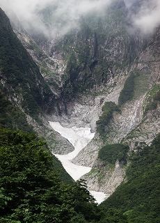 | ||
Weather 2°C, Wind SE at 6 km/h, 95% Humidity Points of interest Mount Akagi, 吹割の滝 Fukiware Falls, Numata Castle, Bokyo Hot Spring, Nangoonsen Shakunage Hot Spring | ||
Numata (沼田市, Numata-shi) is a city located in northern Gunma Prefecture in the northern Kantō region of Japan. As of February 2015, the city had an estimated population of 48,840 and a population density of 110 persons per km². Its total area was 443.46 km², making it the largest city in terms of area within Gunma Prefecture. (The neighboring town of Minakami is the largest municipality in terms of area within Gunma.)
Contents
- Map of Numata Gunma Prefecture Japan
- Geography
- Surrounding municipalities
- History
- Economy
- Elementary schools
- Middle schools
- High schools
- Railway
- Highway
- Local attractions
- Sister city relations
- Noted people from Numata
- References
Map of Numata, Gunma Prefecture, Japan
Geography
Numata is located in northern of Gunma Prefecture.
Surrounding municipalities
History
Numata developed during the Sengoku period as a castle town surrounding Numata Castle, a stronghold in Kōzuke Province contested by the Uesugi, Takeda, Late Hōjō and Sanada clans. During the Edo period, the area of present-day Numata was the center of the Numata Domain, a feudal domain under the Tokugawa shogunate.
Modern Numata Town was created within Tone District, Gunma Prefecture on April 1, 1889 with the creation of the municipalities system after the Meiji Restoration. On March 1, 1954, Numata merged with neighboring Tonami, Ikeda, Usune and Kawada villages, and was raised to city status. On February 13 2005 the villages of Shirasawa and Tone were incorporated into Numata.
Economy
Numata is a regional commercial center and transportation hub, but was traditionally known for lumber production.