
Local time Monday 3:58 PM | ||
 | ||
Weather 0°C, Wind S at 3 km/h, 100% Humidity | ||
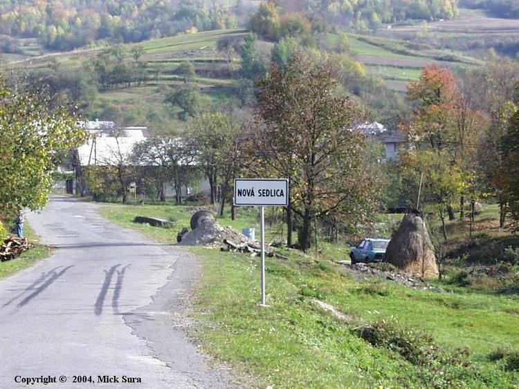
Nová Sedlica (Hungarian: Újszék, Ukrainian: Новоселиця (Novoselytsia)) is the easternmost village and municipality in Slovakia (the most eastern point is the Kremenec Mountain), in Snina District in the Prešov Region.
Map of 067 68 Nov%C3%A1 Sedlica, Slovakia
The village, situated in the buffer zone of the Poloniny National Park, offers easy access to most of the National Park's hiking trails. Stuzica, a component of the Primeval Beech Forests of the Carpathians UNESCO World Heritage Site is also close to the village.
In historical records the village was first mentioned in 1630. The municipality lies at an altitude of 421 metres and covers an area of 32.806 km². According to the 2013 census it had 293 inhabitants. The closest town is Snina, 43 km away.
The name of the town means "new settlement"