
Irish grid reference N112524 | ||
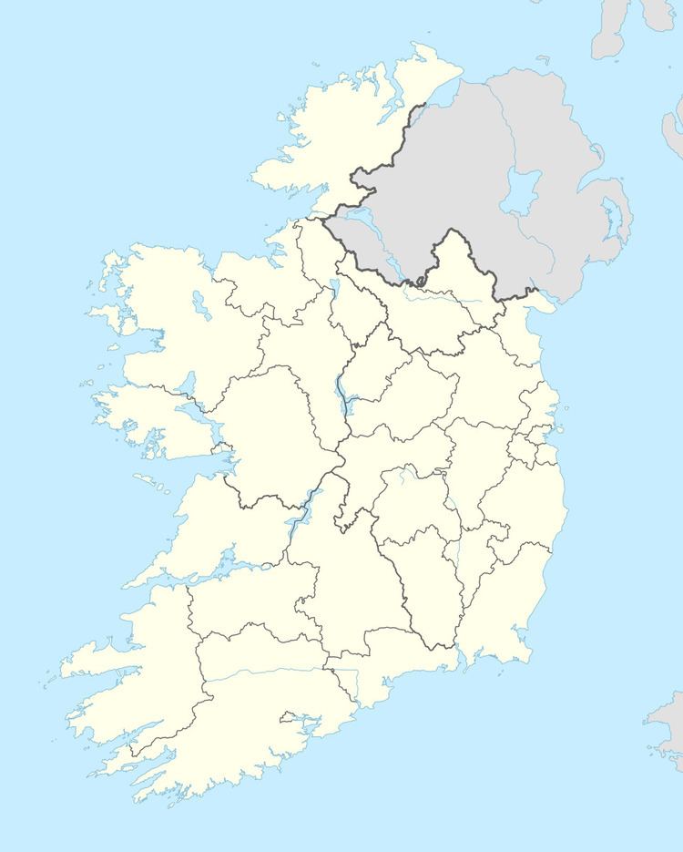 | ||
Noughaval (Irish: Nuachabháil) is a civil parish which spans the counties of Longford and Westmeath in Ireland. It is located about 30.02 kilometres (19 mi) west of Mullingar and 21.61 kilometres (13 mi) south of Longford.
Map of Noughaval, Creevagh, Co. Westmeath, Ireland
Noughaval is one of 4 civil parishes in the barony of Kilkenny West and one of 8 civil parishes in the barony of Shrule, both in the Province of Leinster. The civil parish covers 15,218.6 acres (61.587 km2) , 11,645.1 acres (47.126 km2) in County Westmeath and 3,573.5 acres (14.461 km2) in County Longford.
Noughaval civil parish comprises 41 townlands in County Westmeath and the village of Ballymahon and 10 townlands in County Longford.
County Westmeath: Aghafin, Aghanapisha, Ardnacrany North, Ardnacrany South, Ballynalone, Bawn, Brackagh, Cannorstown (Chapman), Cannorstown (Hogan), Carrick, Cartron, Cartroncroy, Cloghannagarragh, Clogher, Clonkeen, Coolaleena, Coolvin, Corbrack, Corlis, Creggan, Creggy, Doonamona, Doonis, Gortmore, Inchbofin, Inchturk, Kilcornan, Kippin, Lecade, Lisdossan, Lissaquill, Lissoy, Maghera, Muckanagh, Nicholastown, Noughaval, Rath Lower, Rath Upper, Ross, Streamstown and Tonlegee.
County Longford: Annagh, Carrickbeg, Cartron, Clooncullen, Creevagh Beg, Creevaghmore, Garrynagh, Keel, Keelbaun and Rathmore.
Note: The Longford townland of Annagh is in the barony of Rathcline.
The neighbouring civil parishes are: Forgney (County Longford) to the north, Ballymore to the east, Bunown, Drumraney and Kilkenny West to the south, and Shrule (Longford) to the west and north.