
Country Canada Time zone EST (UTC−5) Area code(s) 450 and 579 Area 18.8 km² Local time Monday 4:57 AM | Constituted January 1, 1957 Postal code(s) J6E Highways Route 131 Population 8,868 (2011) Province Québec | |
 | ||
Weather -8°C, Wind E at 3 km/h, 82% Humidity RCMs Lanaudière, Joliette Regional County Municipality | ||
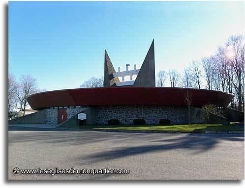
Notre-Dame-des-Prairies is a town in the Lanaudière region of Quebec, Canada, part of the Joliette Regional County Municipality. It is a suburb of Joliette, located along the eastern shores of the L'Assomption River.
Contents
Map of Notre-Dame-des-Prairies, QC, Canada
History
In 1950, the Parish of Notre-Dame-des-Prairies was established. The name refers to the prairies or planes of the Saint-Lawrence Lowlands that characterize the landscape. In 1957, the municipality was formed by separating from the Parish Municipality of Saint-Charles-Borromée. In 2005, the municipality changed statutes and became the City of Notre-Dame-des-Prairies.
Demographics
Population trend:
Private dwellings occupied by usual residents: 4002 (total dwellings: 4068)
Mother tongue:
References
Notre-Dame-des-Prairies, Quebec Wikipedia(Text) CC BY-SA