
Country United States County Cook GNIS feature ID 0429467 Area 9.51 km² Population 26,385 (2010) | State Illinois Time zone CST (UTC-6) Elevation 198 m Local time Sunday 9:06 PM | |
 | ||
ZIP codes 60068, 60631, 60656, 60706 Weather 7°C, Wind SE at 14 km/h, 63% Humidity | ||
Norwood Park Township is one of 29 townships in Cook County, Illinois, USA. As of the 2010 census, its population was 26,385.
Contents
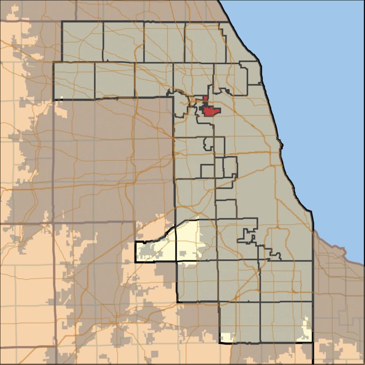
- Map of Norwood Park Township IL USA
- Geography
- Cities towns villages
- Adjacent townships
- Cemeteries
- Major highways
- Political districts
- References
Map of Norwood Park Township, IL, USA
Geography
According to the United States Census Bureau, Norwood Park Township covers an area of 3.67 square miles (9.5 km2).
Zip code is 60631
Cities, towns, villages
Adjacent townships
Cemeteries
The township contains these two cemeteries: Acacia Park and Westlawn Jewish.
Major highways
Political districts
References
Norwood Park Township, Cook County, Illinois Wikipedia(Text) CC BY-SA