
Population 3,795 (2011 census) | Postcode(s) 7250 Postal code 7250 | |
 | ||
Location 4.4 km (3 mi) from Launceston | ||
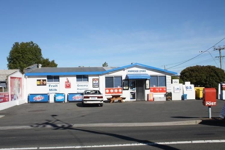
Parry property sold 180 penquite road norwood tasmania 7250
Norwood is a suburb 3 kilometers southeast of the Launceston CBD. The minor suburb of Queechy is also included as part of Norwood. The area was opened up for development in the 1960s with considerable growth in the 1970s to 1980s and contains a mix of large, older-style family homes with patches of more modern homes, mostly in the central-eastern portion of the suburb. Norwood is located on a 60-80m high, relatively flat-topped alluvial plateau with the valley of the North Esk River to the east, the Punchbowl Reserve to the north and the Carr Villa Flora Reserve, Carr Villa Cemetery and the Kings Meadows Golf Course to the west.
Contents
- Parry property sold 180 penquite road norwood tasmania 7250
- Map of Norwood TAS 7250 Australia
- Facilities
- Education
- References
Map of Norwood TAS 7250, Australia
Facilities
Education
Norwood has two public schools, Norwood Primary for years 1-6 and Queechy High for years 7-10
References
Norwood, Tasmania Wikipedia(Text) CC BY-SA