
Country United States ZIP codes 58768 Elevation 472 m | Time zone Central (CST) (UTC-6) GNIS feature ID 1030509 Local time Sunday 8:57 PM | |
 | ||
Weather 2°C, Wind NW at 16 km/h, 89% Humidity | ||
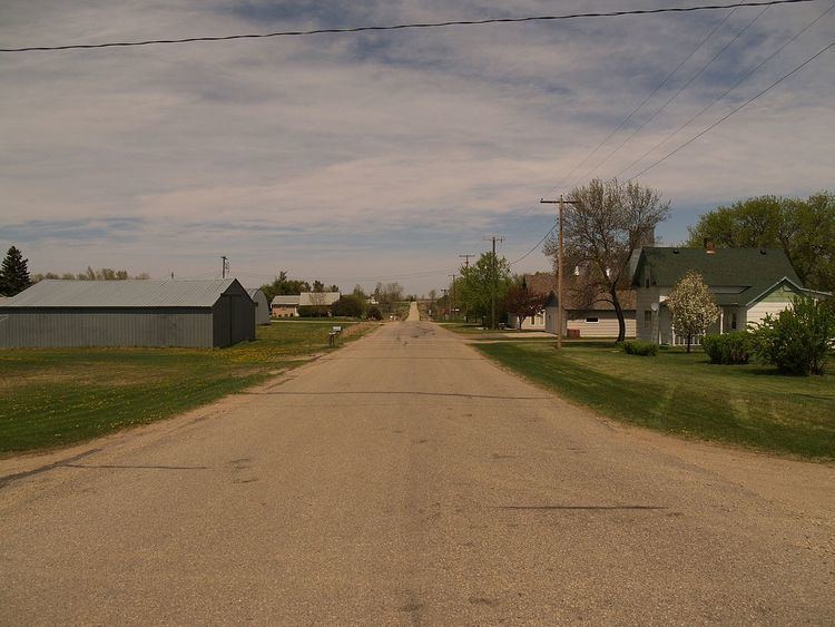
Norwich is an unincorporated community in western McHenry County, North Dakota, United States. It lies along U.S. Route 2 southwest of the city of Towner, the county seat of McHenry County. Its elevation is 1,549 feet (472 m). It is unincorporated, and had a post office with the ZIP code of 58768. Though the post office closed May 4, 1996, the ZIP code is still valid for use.
Map of Norwich, ND 58768, USA
Norwich was founded in 1901 and named after Norwich, England in an effort to please Great Northern Railway stockholders from England. It was one of several sites along the Great Northern's transcontinental route between Devils Lake and Minot that were named after places in England (the others were Berwick, Leeds, Penn, Rugby, Surrey, Tunbridge, and York).
The community is part of the Minot Micropolitan Statistical Area.