
 | ||
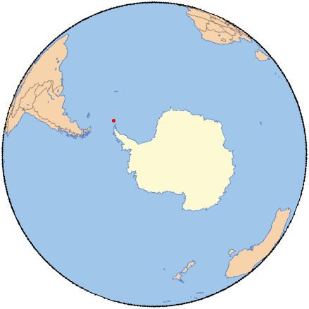
Norway Bight (60°37′S 45°49′W) is a bay 4 nautical miles (7 km) wide indenting the south coast of Coronation Island between Meier Point and Mansfield Point, in the South Orkney Islands. The name appears on a chart by Petter Sorlle, Norwegian whaling captain who made a running survey of the South Orkney Islands in 1912-13.
This article incorporates public domain material from the United States Geological Survey document "Norway Bight" (content from the Geographic Names Information System).
References
Norway Bight Wikipedia(Text) CC BY-SA