
Established 1848 Area 90 ha Local time Monday 12:51 AM | PO box 9797 Population 1,198 (2011) Area code 051 | |
 | ||
Weather 19°C, Wind SE at 10 km/h, 57% Humidity | ||
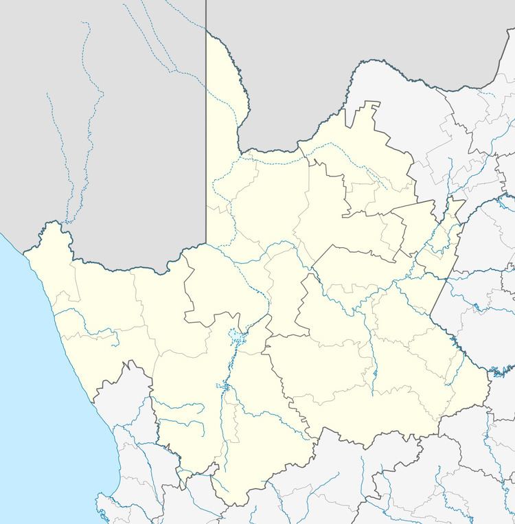
Norvalspont is a small town in Pixley ka Seme District Municipality in the Northern Cape province of South Africa.
Map of Norvalspont, 9797, South Africa
The settlement lies some 40 km east-north-east of Colesberg and 43 km west-north-west of Venterstad, on the southern bank of the Orange River, just below the Gariep Dam. Afrikaans for Norval’s ferry, it is named after an enterprising Scot who constructed a ferry here in 1848.
The first bridge across the Orange River was built in 1889. The bridge was blown up during the Second Boer War. There was also a large concentration camp for Afrikaner women and children at Norvalspont during the Second Boer War.
References
Norvalspont Wikipedia(Text) CC BY-SA