
 | ||
Northeim Lake District is a series of lakes near Northeim, Lower Saxony.
Map of Northeim Lake District, 37154 Northeim, Germany
It has its origin in gravel extraction by open-pit mining. Digging for gravel began in 1852 in order to build the Royal Hanoverian State Railways. After World War II mining was intensified. Gravel that is found there is composed of greywacke, radiolarite and sand.
It is located where the Rhume river flows into the Leine river. Highway 3 crosses the Federal Motorway 7 there as well. The site is also crossed by the Leine-Heide Cycle Path.
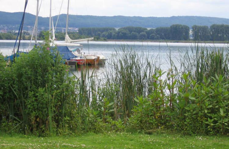
It is now a recreation area. Persons can use the lakes for swimming, diving or windsurfing. It is also a good site for persons with sailboats.
The area is also a conservation area in order to protect the birds that breed there like the great crested grebe, water rail, yellow wagtail or the Eurasian reed warbler.