
Country United States Time zone CST (UTC-6) Area 96.22 km² Local time Sunday 9:44 AM | Established November 6, 1849 Elevation 213 m Population 840 (2010) | |
 | ||
ZIP codes 62311, 62324, 62339, 62346 Weather 6°C, Wind SE at 19 km/h, 68% Humidity | ||
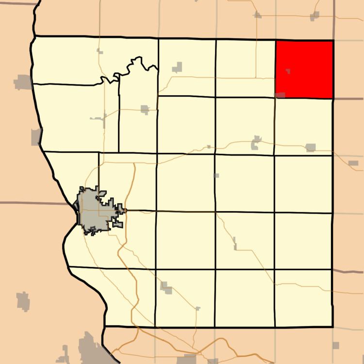
Northeast Township is one of twenty-two townships in Adams County, Illinois, United States. As of the 2010 census, its population was 840 and it contained 398 housing units.
Contents
- Map of Northeast Township IL USA
- Geography
- Cities
- Cemeteries
- Airports and landing strips
- School districts
- Political districts
- References
Map of Northeast Township, IL, USA
Geography
According to the 2010 census, the township has a total area of 37.15 square miles (96.2 km2), of which 37.14 square miles (96.2 km2) (or 99.97%) is land and 0.02 square miles (0.052 km2) (or 0.05%) is water.
Cities
Cemeteries
The township contains four cemeteries: Leenerts, Memorial Gardens, Mount Horeb and Walker.
Airports and landing strips
School districts
Political districts
References
Northeast Township, Adams County, Illinois Wikipedia(Text) CC BY-SA