
Population 1,541 | Postcode(s) 4280 State electorate(s) Logan Postal code 4280 | |
 | ||
North Maclean is a locality in the City of Logan, Queensland, Australia. At the 2011 census, North Maclean had a population of 1,541.
Contents
Map of North MacLean QLD 4280, Australia
Geography
North Maclean is on the Mount Lindesay Highway with the Logan River as part of its eastern and southern boundary. South Maclean is immediately to the south of North Maclean. The western boundary of North Maclean is marked by the Sydney–Brisbane rail corridor.
History
North and South Maclean were once a single district originally known as Logan Bridge, as there was a low-level bridge across the Logan River at this location since 1860. The district later acquired the name Maclean, probably after Alexander Grant McLean, the acting Surveyor General of New South Wales from 1856—1861.
The township with blocks on both sides of the river was surveyed in 1863.
The Maclean Provisional School opened on 16 April 1926 with teacher Ruby Eunice Dunn. Later that year it was upgraded to Maclean State School. It closed in 1963.
Formerly in the Shire of Beaudesert, North Maclean became part of Logan City following the local government amalgamations in March 2008.
Amenities
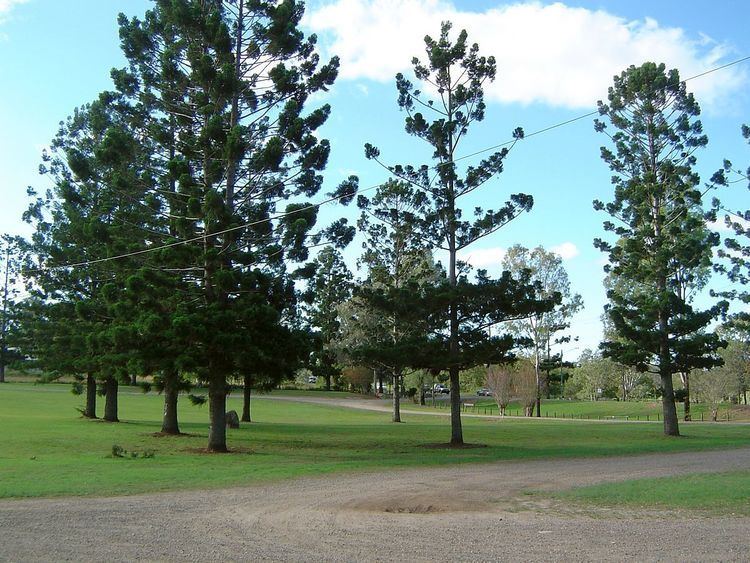
The Tully Memorial Park on the Mount Lindesay Highway on the north bank of the Logan River (27.78276°S 153.01013°E / -27.78276; 153.01013 (Tully Memorial Park)) provides a number of sporting fields. It also has a plaque commemorating the crossing of the Logan River by Patrick Logan in July 1828.
Facilities
The Logan City Council operates the Maclean Cemetery at Scott Lane (27.7720°S 152.9861°E / -27.7720; 152.9861 (Maclean Cemetery)).