
Country United States Elevation 105 ft (32 m) Area code(s) 802 Zip code 05474 | Time zone Eastern (EST) (UTC-5) FIPS code 50-50650 Population 803 (2010) | |
 | ||
Weather 4°C, Wind S at 10 km/h, 64% Humidity Points of interest Lake Champlain, Knight Point State Park, North Hero State Park, Knight Island State Park | ||
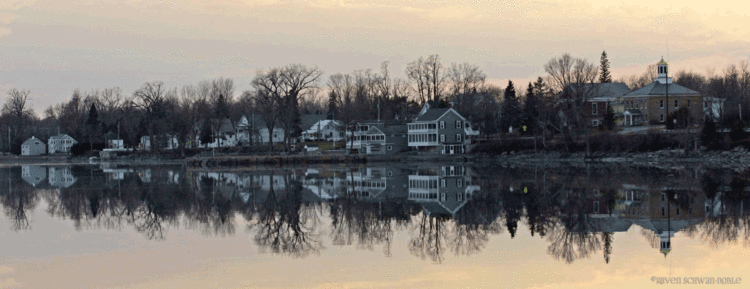
North Hero is a town in and the shire town (county seat) of Grand Isle County, Vermont, United States. The population was 803 at the 2010 census.
Contents
Map of North Hero, VT 05474, USA
The town was named for Ethan Allen, an American Revolutionary War patriot and hero.
Government
The North Hero Town Office is located at 6441 US Route 2 and shares a building with the town school.
Geography
North Hero is in the center of Grand Isle County and occupies the entire North Hero Island in Lake Champlain, as well as Knight Island, Butler Island, and a handful of much smaller islands. The town is bordered to the north by Alburgh, to the west by Isle La Motte, and to the south by the town of Grand Isle, all in Grand Isle County. To the east, across Lake Champlain, are the towns of St. Albans and Swanton in Franklin County, Vermont, while to the southwest, across the western arm of Lake Champlain, is the town of Beekmantown in Clinton County, New York.
U.S. Route 2 crosses North Hero from north to south, departing the town in the north by a bridge over the Alburg Passage into the town of Alburgh, and in the south by a bridge over The Gut to South Hero Island (Grand Isle).
According to the United States Census Bureau, the town of North Hero has a total area of 46.6 square miles (120.6 km2), of which 13.4 square miles (34.8 km2) are land and 33.1 square miles (85.8 km2), or 71.11%, are water.
Demographics
As of the census of 2000, there were 810 people, 333 households, and 237 families residing in the town. The population density was 58.9 people per square mile (22.8/km2). There were 906 housing units at an average density of 65.9 per square mile (25.5/km2). The racial makeup of the town was 97.53% White, 0.25% African American, 0.25% Native American, 0.37% Pacific Islander, and 1.60% from two or more races. Hispanic or Latino of any race were 0.62% of the population.
There were 333 households out of which 26.7% had children under the age of 18 living with them, 61.0% were married couples living together, 6.3% had a female householder with no husband present, and 28.8% were non-families. 19.5% of all households were made up of individuals and 5.1% had someone living alone who was 65 years of age or older. The average household size was 2.43 and the average family size was 2.79.
In the town, the population was spread out with 21.9% under the age of 18, 4.8% from 18 to 24, 26.7% from 25 to 44, 34.3% from 45 to 64, and 12.3% who were 65 years of age or older. The median age was 43 years. For every 100 females there were 101.5 males. For every 100 females age 18 and over, there were 101.0 males.
The median income for a household in the town was $45,577, and the median income for a family was $51,964. Males had a median income of $36,875 versus $31,125 for females. The per capita income for the town was $26,859. About 5.5% of families and 9.0% of the population were below the poverty line, including 12.9% of those under age 18 and 4.0% of those age 65 or over.