
Country United States City St. Louis ZIP code(s) Parts of 63109, 63139 Area 238 ha Area code 314 | State Missouri Wards 10, 23, 24 Website stlouis-mo.gov Population 7,892 (2010) | |
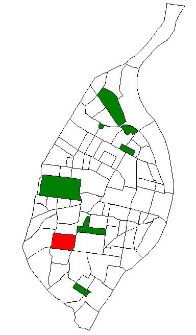 | ||
Northampton is a neighborhood of St. Louis, Missouri. Located in Southwest City, Northampton is bounded by Scanlan and Connecticut to the north, South Kingshighway Boulevard to the east, Chippewa Street to the south, and Hampton Avenue to the west.
Contents
Two smaller neighborhoods make up Northampton. The Tilles Park neighborhood occupies the area from Hampton Avenue to Macklind Avenue, and the Kingshighway Hills neighborhood occupies the area from Macklind Avenue to South Kingshighway Boulevard.
Tilles Park
The 29-acre (120,000 m2) Tilles Park was created by city ordinance 48569 in 1956. It was named after Andrew Tilles, a wealthy business man of the early 20th century. There is also a Tilles Park in St. Louis County.
Demographics
In 2010 Northampton's racial makeup was 75.8% White, 15.2% Black, 0.3% Native American, 4.8% Asian, 2.5% Two Or More Races, and 1.5% Some Other Race. 4.1% of the population was of Hispanic or Latino origin.