
OS grid reference TQ525765 Dialling code 01322 | London borough Bexley Sovereign state United Kingdom Post town Erith | |
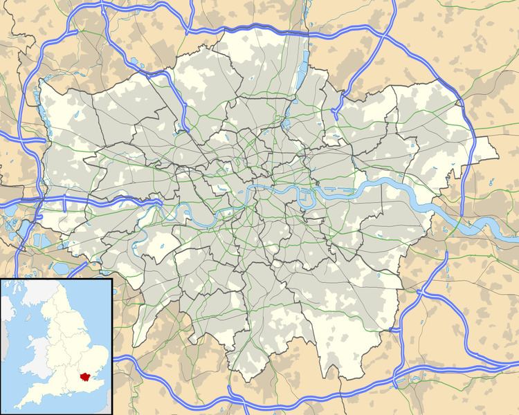 | ||
North End is a locality in the London Borough of Bexley. It was a hamlet towards the north of the ancient parish of Crayford.
North End has largely been absorbed by the sprawl of neighbouring communities. It previously covered an area either side of what is now North End Road, between Colyers Lane and Boundary Street, and included Myrtle Farm. In 1848 Samuel Lewis's 'A Topographical Dictionary of England' states that Northend was a hamlet with 191 people.
Bus routes 469, 428 and 89 serve the area and South Eastern Trains serve Slade Green railway station on the North Kent Line from Dartford to London.
There is a North End ward of the London Borough of Bexley.
References
North End, Bexley Wikipedia(Text) CC BY-SA