
Country United States County Livingston FIPS code 36-51869 Elevation 222 m Population 5,538 (2010) | State New York Time zone Eastern (EST) (UTC-5) GNIS feature ID 0979284 Area 25.4 km² Local time Friday 11:05 AM | |
 | ||
Weather 6°C, Wind SE at 26 km/h, 85% Humidity | ||
North Dansville is a town in Livingston County, New York, United States. The population was 5,538 at the 2010 census. The Town of North Dansville is in the southeast part of the county.
Contents
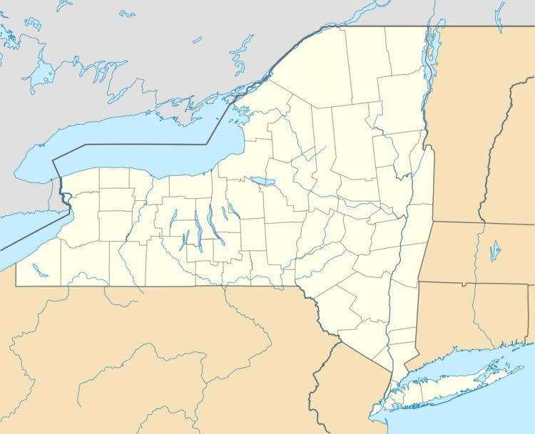
- Map of North Dansville NY 14437 USA
- History
- Geography
- Demographics
- Communities and locations in North Dansville
- References
Map of North Dansville, NY 14437, USA
History
The first settlers arrived around 1795. The town was organized from the Town of Sparta in 1846, and in 1849 North Dansville was increased by more territory from Sparta. The town was at one time on a branch of the Genesee Valley Canal.
Geography
According to the United States Census Bureau, the town has a total area of 9.8 square miles (25 km2), all of it land.
The east and south town lines are the border of Steuben County, New York. The Town of Dansville is in Steuben County, directly south of the Town of North Dansville. Interstate 390 passes through the town. New York State Route 36, New York State Route 63, and New York State Route 256 pass through the town. Canaseraga Creek flows northward within the town to the Genesee River.
Demographics
As of the census of 2000, there were 5,738 people, 2,318 households, and 1,513 families residing in the town. The population density was 583.9 people per square mile (225.4/km²). There were 2,534 housing units at an average density of 257.9 per square mile (99.5/km²). The racial makeup of the town was 96.15% White, 1.06% African American, 0.26% Native American, 0.58% Asian, 1.10% from other races, and 0.85% from two or more races. Hispanic or Latino of any race were 1.78% of the population.
There were 2,318 households out of which 32.4% had children under the age of 18 living with them, 48.1% were married couples living together, 13.2% had a female householder with no husband present, and 34.7% were non-families. 28.9% of all households were made up of individuals and 14.5% had someone living alone who was 65 years of age or older. The average household size was 2.44 and the average family size was 2.98.
In the town, the population was spread out with 25.8% under the age of 18, 8.0% from 18 to 24, 27.0% from 25 to 44, 22.3% from 45 to 64, and 16.9% who were 65 years of age or older. The median age was 39 years. For every 100 females there were 89.7 males. For every 100 females age 18 and over, there were 85.8 males.
The median income for a household in the town was $32,519, and the median income for a family was $41,519. Males had a median income of $31,503 versus $25,500 for females. The per capita income for the town was $16,540. About 10.7% of families and 15.4% of the population were below the poverty line, including 16.6% of those under age 18 and 12.5% of those age 65 or over.