
Existed: 1939 – present Length 275.2 km | Constructed 1939 | |
 | ||
Counties Stutsman County, North Dakota | ||
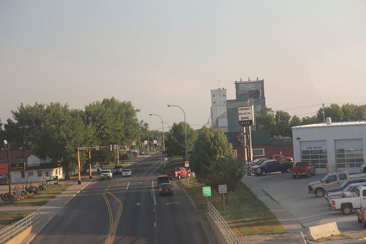
North Dakota Highway 20 is a north–south highway in North Dakota. It runs from U.S. Route 281/U.S. Route 52 in Jamestown to the Canada–United States border near Sarles. The highway continues into Manitoba as PTH 34.
Map of ND-20, North Dakota, USA
A portion of ND 20 between mile markers 87 and 90 was closed in April 2010 due to flooding at Devils Lake and Spring Lake.
References
North Dakota Highway 20 Wikipedia(Text) CC BY-SA